Research in the peatland of the Congo Basin
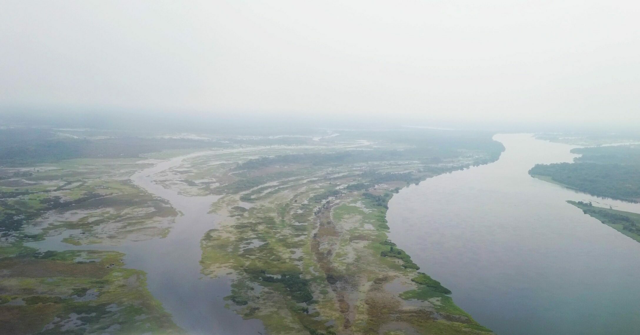
The Congo Basin is home to the world’s largest tropical peatland complex, with a surface area of 167,600 km², or 36% of the world’s tropical peatland area. It traps over 1,712 ± 634 tonnes of carbon per hectare, nine times more than the average carbon sequestered in the above-ground biomass of living trees in African tropical
rainforests.
Scientific studies have been undertaken by several international research groups on the peatlands of the Congo Basin because of the importance of these ecosystems. These researchers have studied the history of this immense peat bog. Their results show that this gigantic carbon reservoir has not always been so, and that this could change in the future under the effect of climate change and anthropogenic pressures. But there are still many uncertainties in our understanding of the processes that determine peat formation and development in the Congo Basin, particularly in terms of hydrology, sedimentology, geochemistry, paleoecology and human influences.
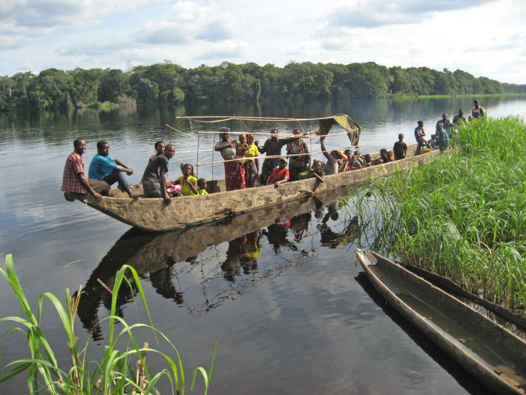
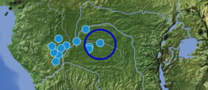
In the course of the SPP-project ‘Archaeology and Palaeoecology of the Inner Congo Basin’ a sedimentary sequence approximately 2 m deep was collected from a peat bog near Bolondo (Tshuapa Province, Democratic Republic of Congo) with the aim of reconstructing the history of the vegetation on site, understanding the dynamics of associated carbon, and assessing its vulnerability to climate change and human activities.Carbon-14 dating was used to estimate the age of the peat.A number of geochemical indicators derived from cooperation with CEREGE (Aix-en-Provence) and MARUM (Bremen) revealed, among other things, the level of decomposition, while isotopic analysis of plant waxes provided information on vegetation composition and precipitation history.Pollen grains analyzed in each stratum were used to create images of ancient vegetation since the formation of the bog.


(Copyright: M. Schmeling, licensed under CC BY 4.0 international, waterbodies © OpenStreetMap contributers, modification by J. Sigl)
The results obtained on the Bolondo sequence reveal a past marked by climatic events that have affected carbon storage and vegetation changes over the last 2,500 years. These results are the subject of a scientific article in preparation.


