The Selinos River in Pergamon. Investigating the Relations Between Urban Development, the Alteration of Natural Space and Changing River Dynamics

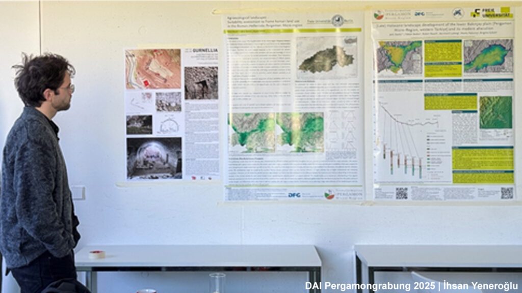
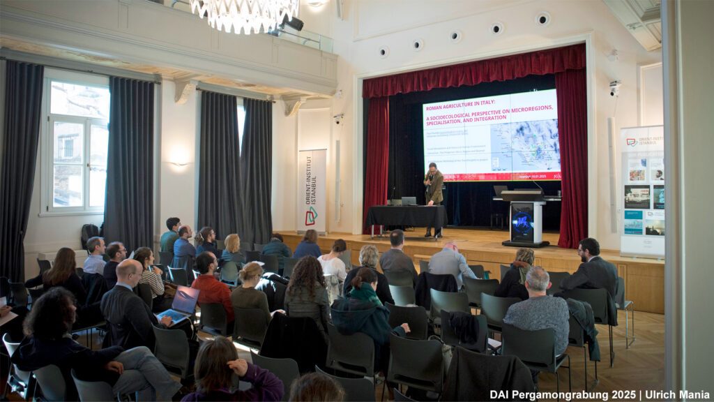
The Selinos River, now known as Bergama Çayı, plays a significant role in shaping the urban landscape of the city. This was highlighted at the annual TransPergMicro workshop, where the relationship between urban development, changes in natural space, and the river’s dynamics were analysed and discussed. The initial findings, presented in this blog post, will be incorporated into a TransPergMicro sub-project.

Secrets of Selinus: New Discoveries Reshape the Understanding of Pergamon’s Urban Riverbank

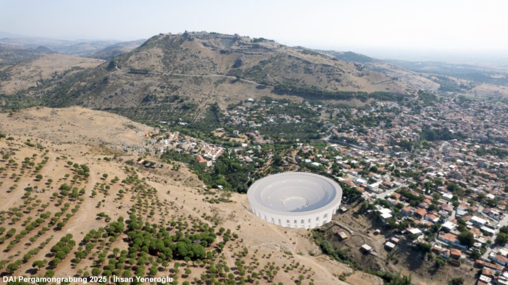
The developing landscape of Bergama unfolds along the Bergama Çayı, where the recent construction of a river embankment by the DSİ revealed ancient structures. Excavations from 2021 to 2023 under the direction of Bergama Müzesi uncovered an 1 km² wide area. In collaboration with DSİ, the İzmir State Monuments Authority and the Pergamon Excavation Project, the ongoing conservation work is contributing to a master’s thesis focusing on detailed documentation, with an emphasis on construction phases and techniques. This study explores the historical layers of the site to uncover ancient urban development and the interactions between human and nature during the Roman Imperial period.

Temple, Villa, or…? A Rural Site in the Pergamon Micro-Region

The Sultan Tepe site, discovered in 2009 and revisited in 2019 and 2020, near Pergamon reveals intriguing findings. The non-invasive survey suggests a complex history: a potential villa with a courtyard, a sanctuary, or even a mansio. Geophysical data points to a 175 x 100 m structure, possibly a villa. Pottery spans late Hellenistic to Byzantine periods. Despite uncertainties, this interdisciplinary approach offers valuable insights into the region’s historical development. The full study will be in ‘Istanbuler Mitteilungen.’

Lost and Found in an Altered Landscape: Uncovering Ancient Sites in the Eastern Pergamon Micro-Region – A Survey Report

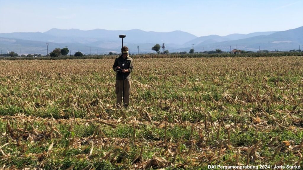
The Archaeological Survey in the Pergamon Micro-Region often takes us to places where history and present collide. This was especially true during this year’s survey. As part of the TransPergMicro project, the survey team explored the eastern lower plain of the Bakırçay river (ancient Kaikos) and the southern Madra Dağı Mountains around ancient Parthenion – an ancient landscape that has been affected by massive land consolidation, the construction of dams and quarrying activities in recent decades. Nevertheless, we were able to make many new discoveries and after 6 weeks of fieldwork we can tell a story of transformation and rediscovery. Here are first glimpses of our newly uncovered sites and preliminary results.

Pergamon’u yeni yürüyüş rehberiyle keşfedin

Alman Arkeoloji Enstitüsü tarafından yürütülen Bergama Kazısı, ziyaretçilere sadece antik kalıntılar arasında rehberlik etmekle kalmayan, aynı zamanda modern Bergama kentinin tamamını kapsayan  rotalar öneren bir turistik harita oluşturdu. Bu haritanın, insanları bireysel rotaları deneyimlemeye ve Bergama’nın antik çağlardan Bizans ve Osmanlı dönemleri gibi daha yakın dönemlere kadar uzanan zengin kültürel mirasını deneyimlemeye teşvik etmesi amaçlanıyor.