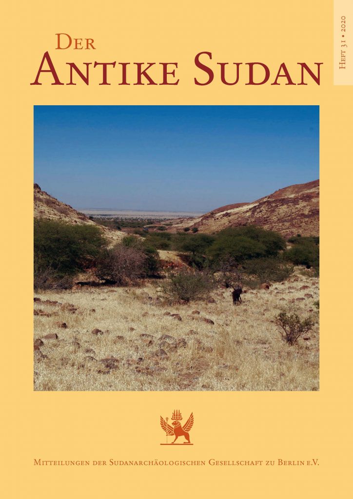
J. Eger/T. Karberg, Nord-Kordofan im Satellitenbild. Vorbericht über die Forschungen des InterLINK-Projektes 2020, in: Der Antike Sudan 31, 2020, 87-98.
Full text | PDF Download
Abstract (source: Eger/Karberg 2020):
In March 2020, while most of the survey team of the research project “Interregional Linkage Investigations in Northern Kordofan” was already on the ground in Sudan and preparations for the trip to Kordofan were underway, we received urgent news that the closure of the Sudanese borders due to the global COVID-19 pandemic was imminent, and departure was recommended before global travel restrictions took effect. Due to this, we decided with a heavy heart to postpone the planned field campaign to a later date.
However, this does not mean that no research took place this year. Like many others in science and research, members of the InterLINK project traded field work for their desks at home. Remote sensing using satellite data, an important component of the project from the beginning, was scheduled ahead of the original time plan for the eastern sections of the concession area.
