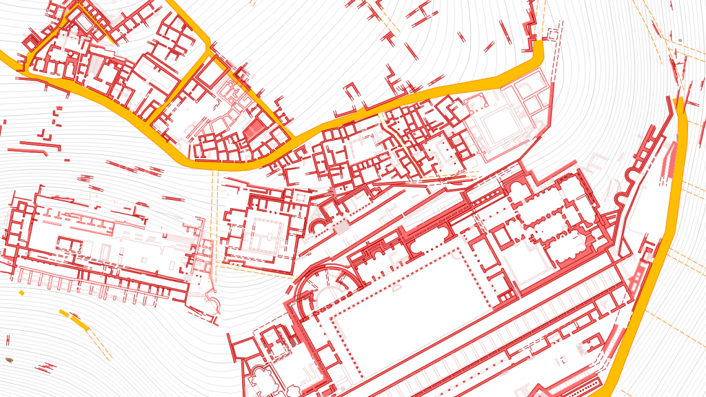
Five years after the publication of the first Pergamon Digital Map in November 2020, the new Pergamon Digital Map 2 (2025) is now available. This updated and expanded edition represents a major step forward in documenting, visualizing, and sharing the archaeological landscape of ancient Pergamon and its peri-urban area.
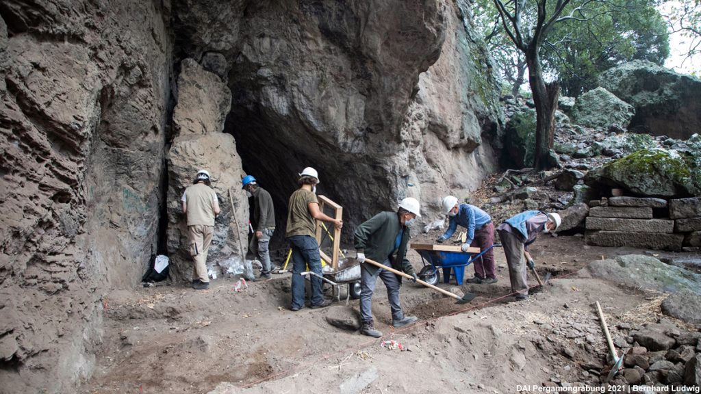
Developed by the Pergamon Excavation of the German Archaeological Institute (DAI) in close collaboration with the Bergama Museum, Karlsruhe University of Applied Sciences, and the Karlsruhe Institute of Technology, the digital map brings together decades of research: excavation results, surveys, and the continuous documentation of building remains across the ancient city.
What’s New in Version 2?
The 2025 edition incorporates new archaeological data gathered in recent years. Among the most significant additions are:
- Newly documented structures around the Asclepieion,
- Updated architectural data east of the Red Hall,
- Revised mapping along the Selinus (modern Bergama Çayı),
- Integration of current excavation results, including contributions from the Bergama Museum’s rescue archaeology.
Together, these updates contribute to an increasingly detailed picture of the ancient city.
Accessible in Multiple Formats
To ensure broad accessibility for researchers, students, heritage professionals, and the wider public, the Pergamon Digital Map 2 is now available in several complementary formats:
- PDF Maps (1:2000 and 1:5000)
High-quality plotted maps in German, English, and Turkish provide clear overviews of the city’s topography and architectural remains.
- Interactive WebGIS Version
An interactive version is available online via the iDAI.geoserver. The map is enriched with linked metadata from other iDAI.world services, such as iDAI.objects and iDAI.gazetteer. This interconnected structure allows users to seamlessly explore buildings, monuments, and archaeological features with direct links to additional resources.
- Open Dataset on iDAI.repo
For the first time, the underlying GIS datasets, including the GeoPackage files and the complete QGIS project, are being released as an open, citable dataset under a CC BY 4.0 license. This dataset includes also PDF map files at all scales and in multiple languages, offering users both raw spatial data and finalized cartographic products in one consolidated package. This publication facilitates the transparent reuse of the data in research, teaching, heritage management, and digital applications.
A Living Digital Resource
The Pergamon Digital Map 2 is more than just a static cartographic product. Shaped by annual excavation seasons, architectural studies, and archaeological surveys in the ancient city and its surroundings, it is a collaborative research tool. Version 2 reflects this ongoing work and represents another step toward a better understanding of Pergamon’s urban development, infrastructure, sacred landscapes, and peri-urban zones.
Explore the Map and Dataset
- Downloadable PDFs (1:2000 / 1:5000): https://www.dainst.blog/transpergmikro/pergamon/pergamon-map/
- Interactive Web Map (iDAI.geoserver):
- Open Dataset on iDAI.repo (GIS + PDFs): https://repo.dainst.org/dataset/pergamon-digital-map-2-2025