–
by Fabian Becker and Joris Starke
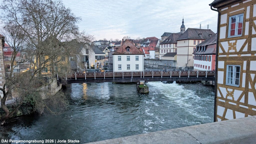
After three successful contributions to the 2024 edition of the Landscape Archaeology Conference (LAC) in Madrid, the TransPergMikro team once again participated in the 2026 LAC, this time hosted by Otto-Friedrich-University of Bamberg in the picturesque city of Bamberg (Franconia, Germany, Fig. 1).
Under the thematic umbrella of “Water,” several conference sessions brought together contributions from archaeology as well as related disciplines concerned with riverine and floodplain landscapes. The TransPergMikro project aligns closely with this focus, addressing both the urban development of Pergamon along the Selinus River in the Roman lower city and the Kaikos Plain as a key zone of settlement and agricultural production.
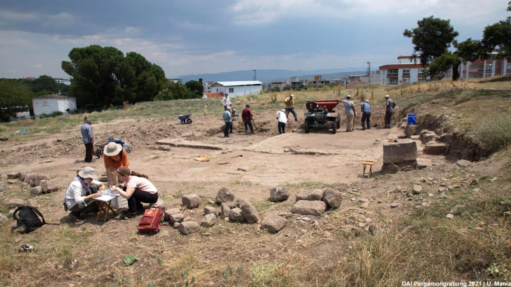
The physical geography team of TransPergMikro, together with colleagues from architectural history and building archaeology, presented a talk titled By the Rivers of Pergamon: Engineering, Floods, and Urban Transformation (Fig. 2). Fabian Becker and co-authors showed how the expansion of Pergamon from its hilltop core down onto the alluvial fan of the Selinus River went hand in hand with major engineering works that directly reshaped the river itself.
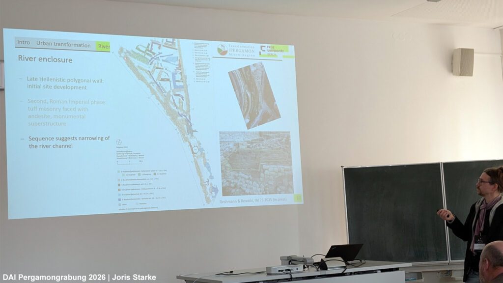
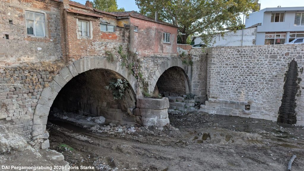
One striking example is the large culvert beneath the Red Hall (Pergamon), which allowed the Selinus to flow underneath the monumental building for about 200 metres (Fig. 3). In addition, river embankments – documented in detail during the second funding phase of TransPergMikro – further controlled and confined the river’s course through the expanding city. Also, the construction of the Amphitheatre of Pergamon required intervention in the river system. Together, the interventions freed up valuable space for urban development in the growing lower city.
Hydrological analyses indicate that the newly developed urban areas adjacent to the embankments and culvert were protected against design floods with recurrence intervals on the order of several hundred years. Sedimentological investigations beneath the ancient city further reveal a marked shift in alluvial fan aggradation during the Roman Imperial period. This change is likely linked to intensified construction activity and landscape reworking associated with the urban transformation from the Hellenistic to the Roman period.
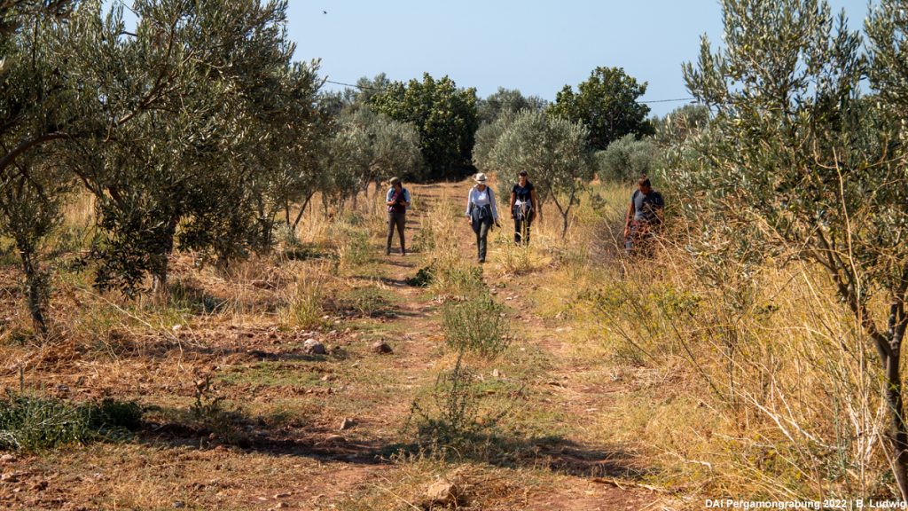
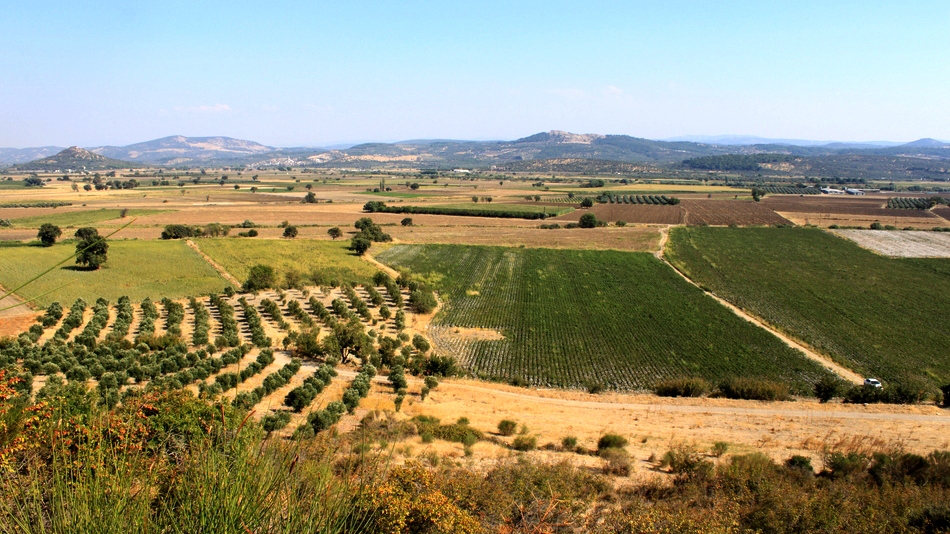
Joris Starke et al. shifted the perspective in their talk – presented in the session on landscape archaeology of riverine environments – from the city of Pergamon to the wider river system of the micro-region, focusing on the Kaïkos River, today’s Bakırçay River. Since the mid-20th century, the eastern lower Bakırçay plain has undergone major human-induced transformations of its hydromorphological system, a pattern that is increasingly characteristic of river landscapes in the Anthropocene. These interventions include the construction of dams in tributary catchments for flood protection, extensive drainage networks to “dry” the seasonally wet winter floodplain, as well as channel straightening and river diversions. At the same time, the dams also serve as reservoirs, supplying irrigation water that is distributed to fields during the dry summer months. As a result, the seasonal rhythm of the plain of winter wetness and summer dryness is now largely regulated for agricultural production.
In their talk – entitled Reconstructing ancient flow dynamics of Bakırçay river in the eastern lower Bakırçay plain (Bergama/Pergamon, Türkiye) – Starke et al. combined historical maps from the early excavation period of Pergamon and later sources with geomorphometric analysis and sedimentological data to reconstruct the river planform prior to major modern interventions (Fig. 4). While the Bakırçay and its tributaries are strongly channelised today, the early twentieth-century system appears to have been predominantly anabranching, with superelevated channels, frequent local and regional avulsions, and deflection of tributaries. In contrast, classical meandering – well known from other rivers in the western Anatolian horst-and-graben systems such as the Büyük Menderes (the “Great Meander”) – does not seem to have been a dominant feature of the Bakırçay system. Tectonic activity likely played an important role in shaping this distinctive fluvial behaviour.
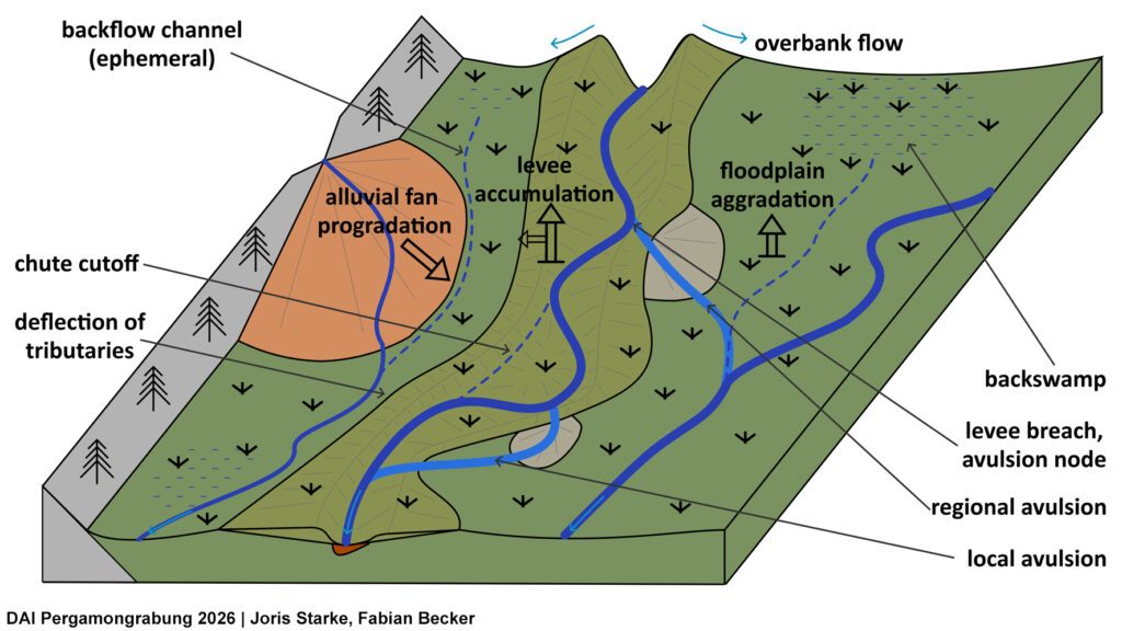
The reconstructed flood dynamics suggest a highly variable system: extensive and prolonged flooding of low-lying depressions on the one hand, and sudden, sometimes catastrophic channel shifts on the other. These dynamics may have strongly influenced settlement patterns across the plain. In addition, Starke et al. demonstrated that since Late Antiquity, several metres of floodplain sediment have accumulated in the valley floor, adding an additional layer of complexity to the reconstruction of past human–environment interactions.
Taken together, the contributions across the sessions highlight a central insight: human influence on floodplain dynamics is not only a defining feature of today’s landscapes, but has also played a significant role in shaping river systems in the past. Besides several modern interventions in the hydromorphological system, floods of both Selinus and Bakırçay, especially those in January 2024 and January/February 2026, triggered widespread attention, as documented in several social media posts.