The Nile and its flood are the determining factors for economic livelihood in Egypt. Extreme events of the Nile flood could cause social and political crises; the Nile flood has been affected by climatic events and developments; nevertheless, it falls too short to assume that the connection between climate, Nile flood, and crises is a mechanical consequence. The Arab geographer al-Maqrîzi (1364-1442) already saw the crises of his time as only marginally caused by the Nile flood, but rather by the effects of fiscal policy. Likewise, ancient literature often attributes crises to administrative mismanagement, not the Nile flood.
To critically unravel the complex relationships between climate, the Nile flood, and social crises in Egypt, one must tap three areas of evidence in a long historical perspective: the data on historical Nile floods, the records of historical crises, and the proxy data on climate development now available. Comprehensive documentation and integration of this data pool is the goal of the project.
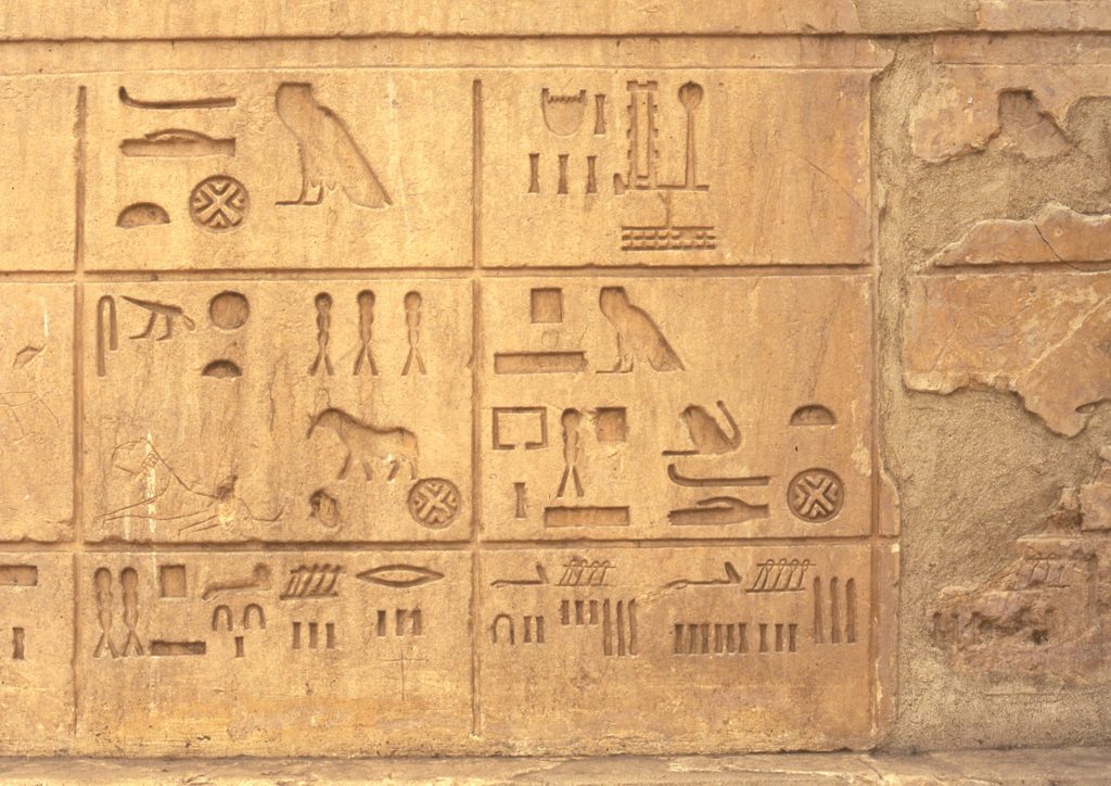
For no other river on earth are there as many historical level data as for the Nile. From the Nilometer in Cairo alone, maxima and minima of the flood have been preserved for more than 1200 years. This series can be supplemented for the 19th and 20th centuries by detailed measurements. The first known tide gauge data, however, date back to the late 4th millennium B.C. From Pharaonic Egypt as well as from Greco-Roman times, there are repeatedly data on historical flood levels. These data are to be brought together and made accessible for comparison.
The history of Egypt is also documented in unique depth. From Pharaonic times to the present, there are written records, often dated to the year, of extreme Nile flood events, crises, and their contexts. These reports, from the earliest times to the early 20th century, are to be collected, uniformly recorded, and paralleled with the database of tide gauge data, so that it can be seen whether and how crisis reports are related to data on particular events of the Nile flood.
Newly added in recent decades are proxy data on global and regional climatic conditions, ice cores, dendrochronological information, archaeological-geographical data, e.g. on water levels of East African lakes and dune movements at the margins of the Nile Valley. However, the validity of such data and their relationship to historical information must be critically established. In order to do this, available proxy data will be collected in an initially experimental sense and placed alongside the historical evidence.
Understanding the complex interaction between environment and culture in the key region of Egypt requires a cooperative and critical dialogue of historically and methodologically diverse projects and disciplines. This will be served by the systematized and integrated compilation of hydrological and historical data on the Nile flood, as well as sources of information on climate history.