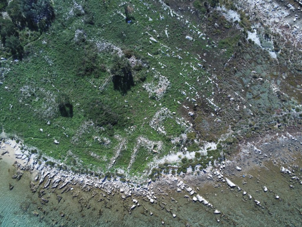
In the coastal landscape of northern Dalmatia, sea and lake level fluctuations have a strong impact on settlement opportunities, land, and sea (for the analysis of sea-level fluctuations, see SURIĆ 2009). Furthermore, numerous archaeological sites are endangered by rising sea levels associated with climate change (Fig. 1). The project „Coastscape North Dalmatia: changing settlement and space production“ therefore addresses questions of human-environment relations against the background of the production of space – e.g. space appropriation and use – in different times, cultures and ecotopes.
Based on the RGK project „From the Karst Mountains to the Sea. Settlement forms, spatial development and use from the Iron Age to Late Antiquity at Lake Vrana“, new climate and environmental archives should be made accessible through prospections and drilling profiles from the Adriatic Sea and Lake Vrana, and data on climate history and human-environment relations are to be collected. The groundcheck project can build on findings from earlier archaeological projects in neighboring regions, such as the „Neothermal Dalmatia Project“ (Chapman et al. 1996).
Since 2019, we have been using landscape archaeological methods (remote sensing, geophysical prospection, drilling, and GIS modeling) to investigate a transect southeast of Zadar, stretching from the mountains across Lake Vrana to the sea. These measures are supplemented by targeted excavations on the hilltop settlement of Zamina and underwater archaeological investigations.
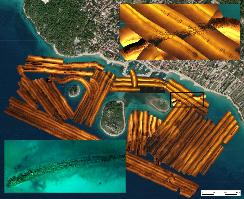
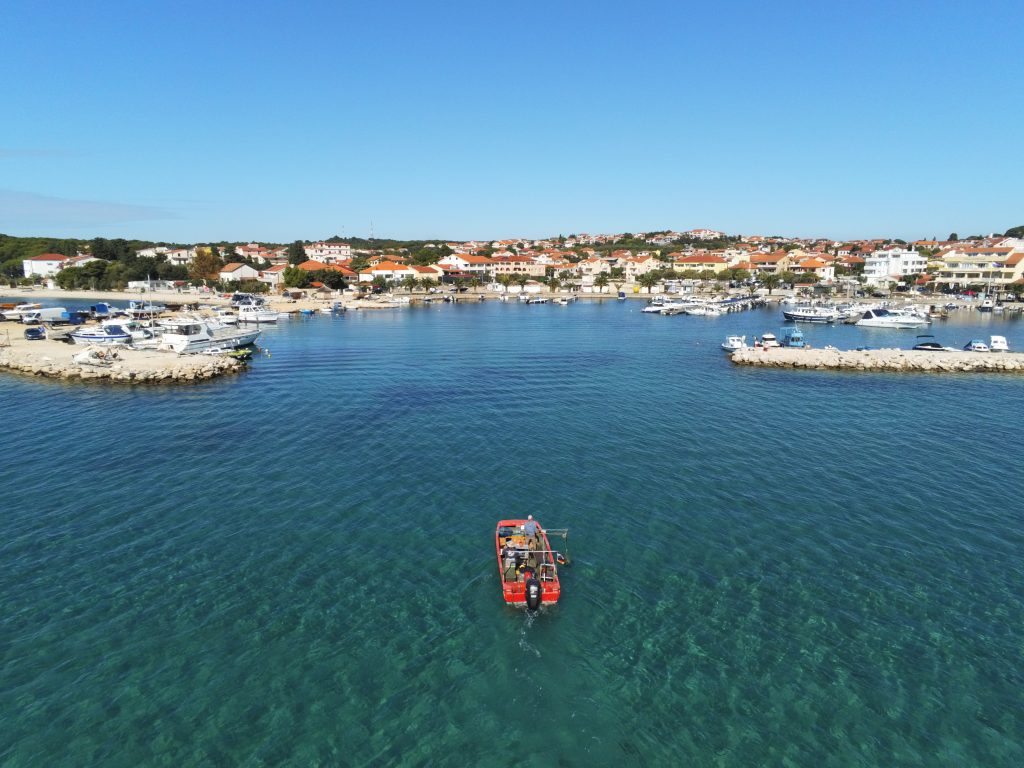
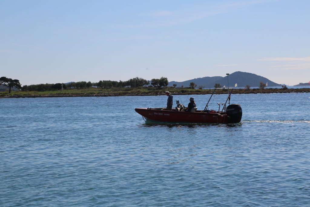
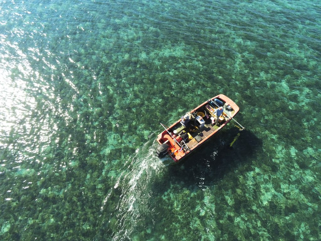
In October 2021, a first test mission was carried out with a site-scan sonar to survey the seabed (Fig. 2-5). The measurements not only expanded our database on the sites but also help us to better understand the changed coastlines and port facilities due to sea-level rise. Furthermore, we succeeded in identifying areas with strong sediment deposits, which are of central importance for the extraction of environmental archives.
Data analysis, possibly targeted drilling of sediment traps, GIS mapping of archaeological sites, and analysis of the impact of sea-level fluctuations on ancient coastal use and the vulnerability of archaeological sites are planned for the coming years.
This project is part of the RGK network project „Investigations of cores from marine and lake sediments for the reconstruction of human-environment relationships in northwestern and south-central Europe and their potential for risk assessment of archaeological sites“.
Project members and partners
Kerstin P. Hofmann (RGK)
Andreas Grundmann (RGK)
Roman Scholz (RGK)
Luka Bekić, Mladen Pešić (International Centre for Underwater Archaeology in Zadar)
Marko Meštrov (Museum Biograd, Museum Mackovica Han Vrana)
References
Chapman et al. 1996: J. Chapman / R. Shiel / Š. Batović, The changing face of Dalmatia. Archaeological and ecological studies in a Mediterranean landscape. Reports of the Research Committee of the Society of Antiquaries of London 54 (London 1996).
Surić 2009: M. Surić, Reconstructing sea-level changes on the Eastern Adriatic Sea (Croatia) – an overview. Geoadria 14,2, 2009, 181–199.