Geoarchaeological Investigations on the Eastern Port of the Western Greek Apoikia Selinunte, South-Western Sicily
Selinunte, located on the west coast of Sicily, was one of the large and important western colonies of ancient Greece. It is among the best researched Greek planting cities (apoikia) of Sicily and southern Italy and is famous for its monumental Doric temples. A desideratum in many years of research on the ancient coastal city is the localisation of the harbour facilities and their connection to the city, for which there are no reliable findings to date.
The aim of the investigations within the framework of the Groundcheck programme is the geoarchaeological exploration of the hitherto assumed eastern harbour of Selinunte and the palaeogeographical reconstruction of the now silted-up marine bay that once housed the harbour. Specifically, a spatial and chronological model of the siltation of the bay is to be developed, which will allow the development of Selinunte to be linked to landscape-historical events, such as sea-level fluctuations, shoreline changes, or vegetation changes, and will shed light on the reciprocal influences of environmental and settlement history.
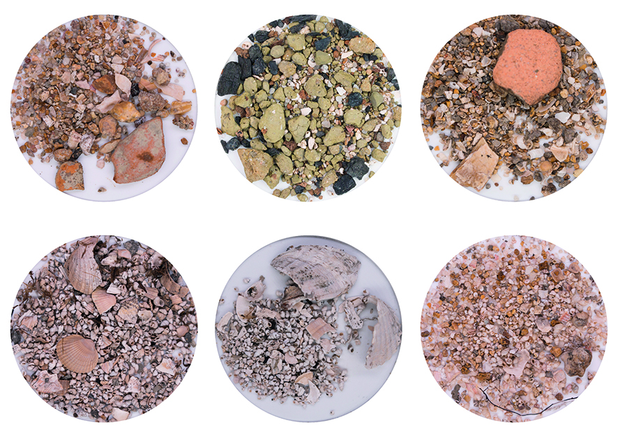
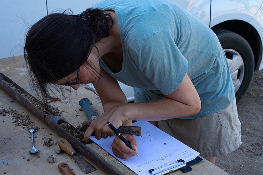
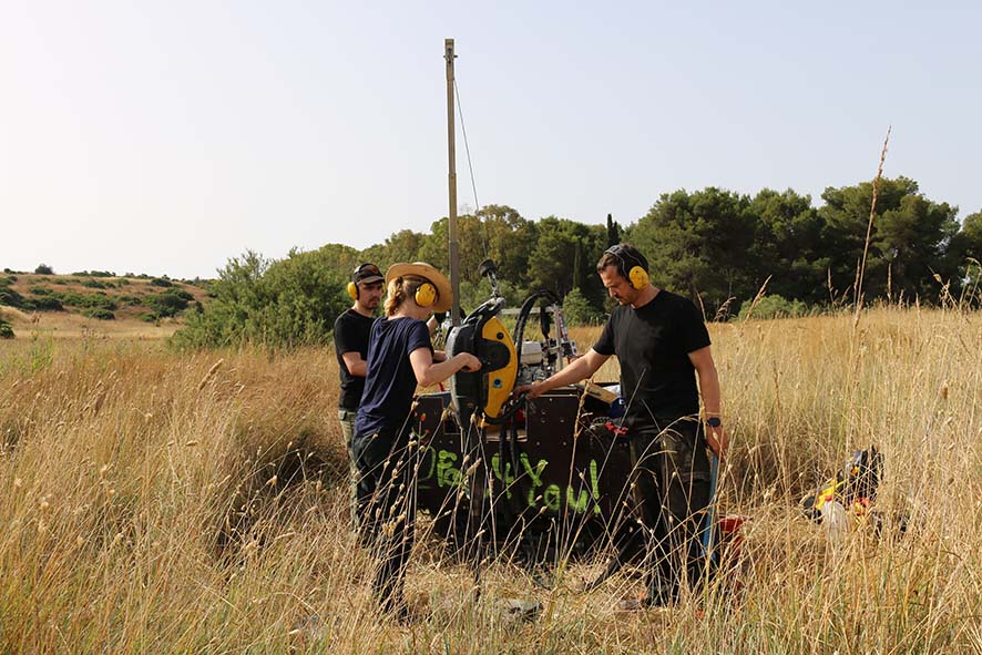
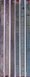
Since the summer of 2020, extensive fieldwork has been taking place in the Gorgo Cotone valley, between the city hill and the eastern hill of Selinunte. The vibracoring method is being used to explore the subsurface. So far, more than 40 corings of several transects across and along the valley course have been obtained. The sediment cores show the lithostratigraphic structure of the subsurface down to a maximum depth of 14 m and provide information on the spatial distribution of marine deposits. For the evaluation of the cores, the examination of the sediments in the laboratory is indispensable. Especially microfossils (ostracods, foraminifera) are crucial for the identification of marine deposits and the interpretation of paleoenvironmental conditions.
The results of the geomorphological-sedimentological investigations will be incorporated into a GIS platform that will be used to collect, model, and visualise all spatial data generated. The goal is to generate paleo-elevation models that reflect the siltation and port history of Selinunte’s eastern marine bay at different time slices.
The project is being carried out by the DAI Rome in close collaboration with the DFG project „The Eastern Port of Selinunte“ led by Jon Albers (Ruhr-Universität Bochum) and the Parco Archaeologico di Selinunte e Cave di Cusa.