The Kephissos fluvial system as an indicator of climatic change in central Greece from the Late Bronze Age to the Late Antiquity (3.2 – 1.4 ka BP)
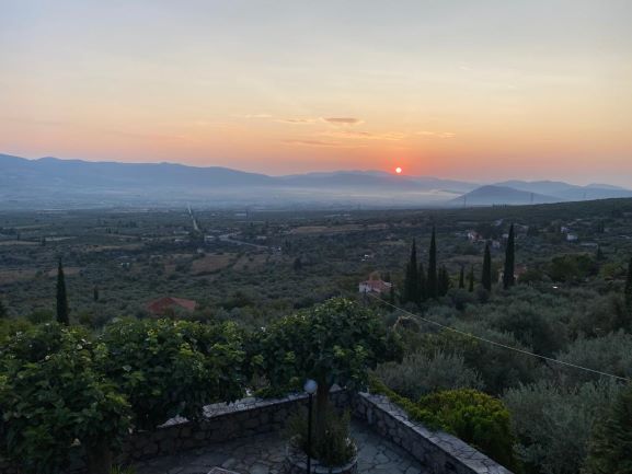
Kephissos Valley lies in Eastern Lokris in the south-central part of mainland Greece at 38°35’ to 38°40’ N and 22°37’ to 22°50’E. With an area of about 1500 km², this valley was an important agricultural and transit area during antiquity when this region belonged to ancient Phokis.
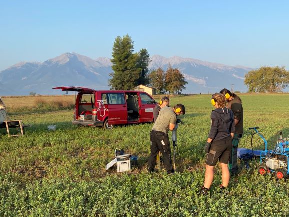
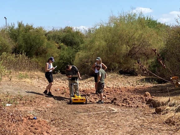
During September 2020, surface surveys and 15 percussion drillings were carried out in the central part of the Kephissos Valley to identify diachronous changes in the Kephissos River course to find potential settlement sites and bridgeheads along the Kephissos River and to identify potential water sources for ancient settlement sites. It was also aimed to identify major flooding events in the Kephissos Valley from 3.2-1.4 ka BP and to correlate them with major climate changes in the Eastern Mediterranean.
The (extremely stiff!) sediments showed alternations between gravel and sandy to loamy sediments with upgrading. Sediment depth increased downriver reaching more than 8 m depth at the transition from ancient Phokis to Boeotia. Unfortunately, no organic layers or peat were found at or near the river.
The results show, that the main course of the Kephissos River has not changed for a long time (possibly the entire late Holocene), except for some modern rectifications at Kefissochori / Kato Tithorea. Starting at the ancient town of Paliothiva, the river develops a significant flood plain. There is no evidence for an alternate river course since antiquity, even south of Paraskevi, where Kephissos turns to the west with a sharp angle. However, shallow channels were detected by satellite images and Georadar indicating old flood channels. Rinnen and sedimentary sequence indicate major flooding events – some sediments are currently dated to get a first approach to the recent history of these events.
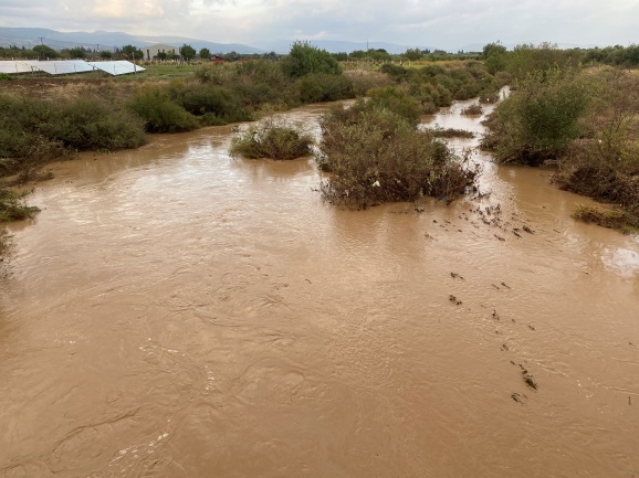
The surface surveys and the drillings showed the dependency of the ancient population on karst springs, wells dug into the river sediments, and cisterns – all very variable sources of water supply. The below shown pictures exemplify the extremely high variability of the flow of the Kephissos river with high floods with more than 50 m³/s varying with dry conditions within a few days.
In 2021, additional long cores will be drilled and dated (by OSL) to get a clearer picture of the flooding history of the Kephissos valley from ancient times to today.
The (during summer usually) dry river bed of Kephissos river at the bridge to Modi before (17.9.2020) and after hurricane “Iasos” (20.9.2020)