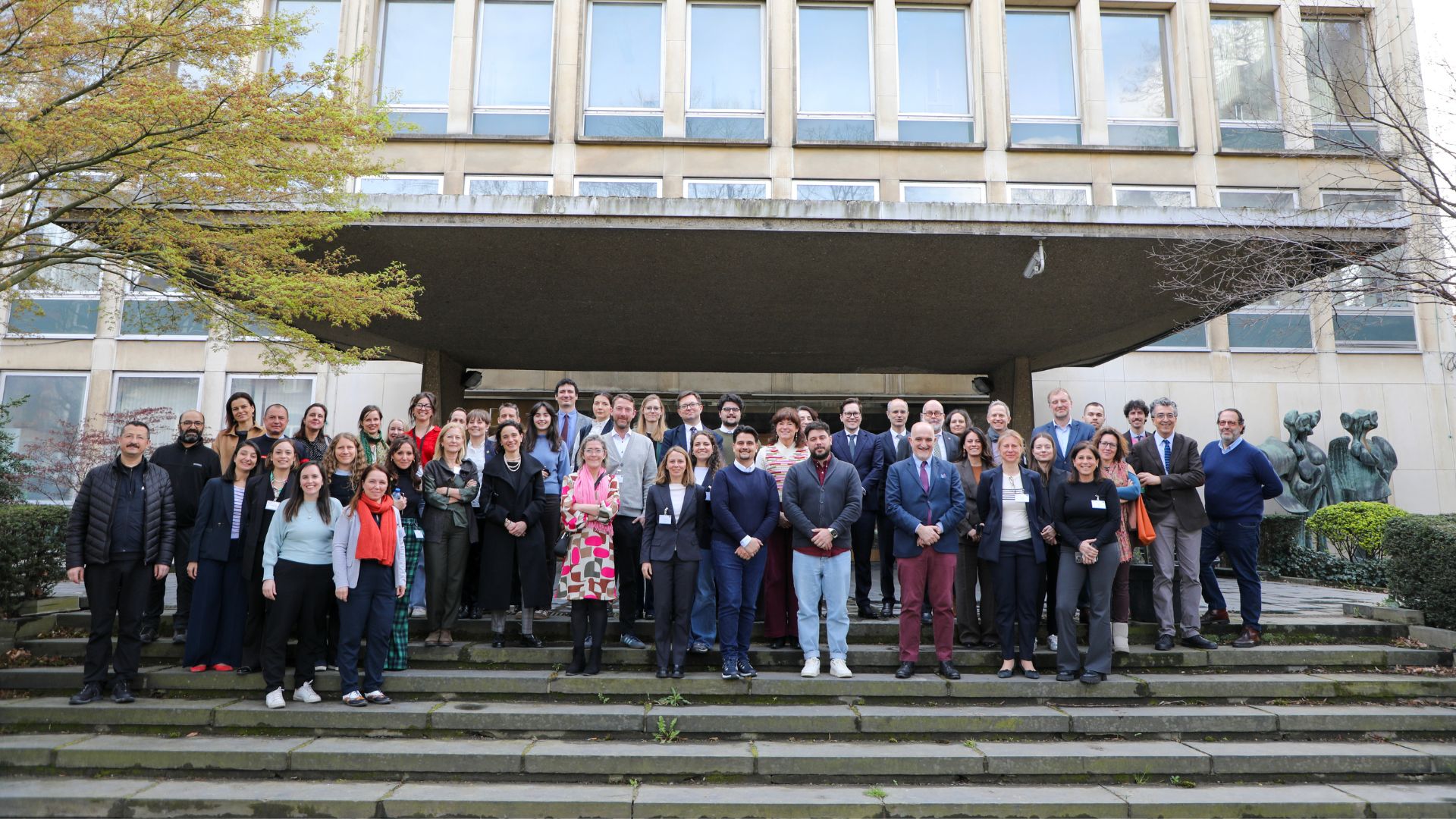
Kaïkos meets Regnitz: Contributions of the TransPergMikro Team to the Landscape Archaeology Conference 2026, Bamberg, 18.03. – 21.03.2026
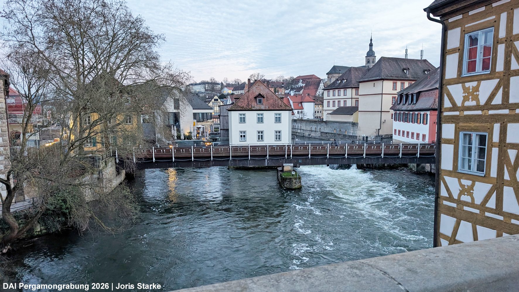
After three successful contributions to the 2024 edition of the Landscape Archaeology Conference (LAC) in Madrid, the TransPergMikro team once again participated in the 2026 LAC, this time hosted by Otto-Friedrich-University of Bamberg in the picturesque city of Bamberg (Franconia, Germany).