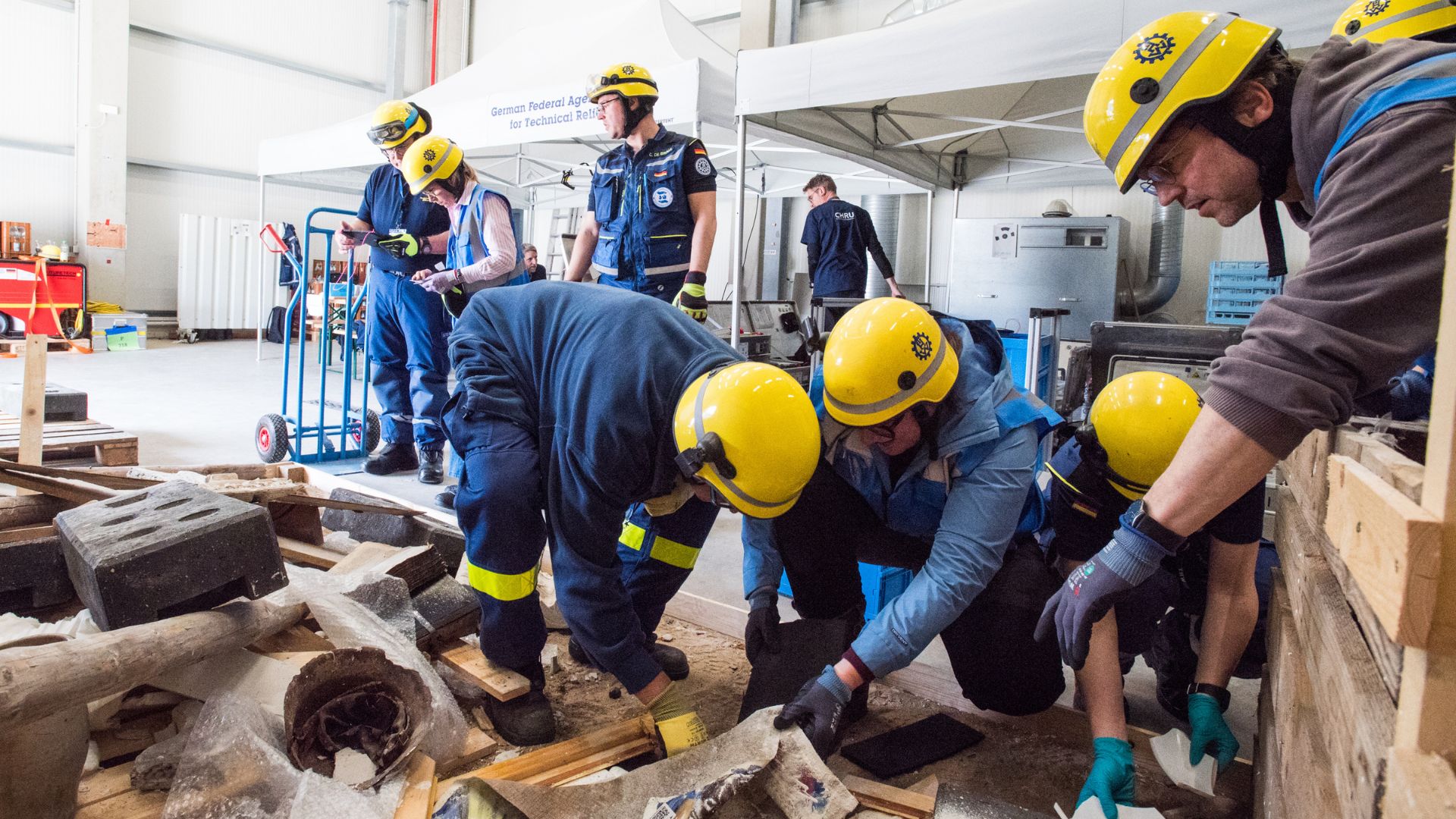
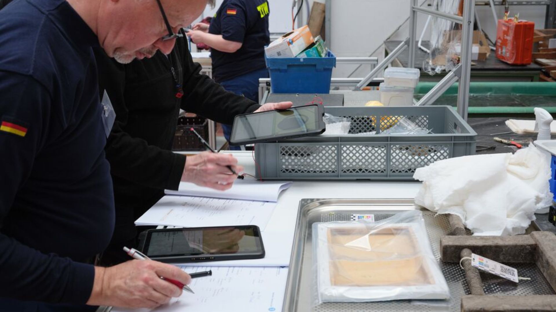
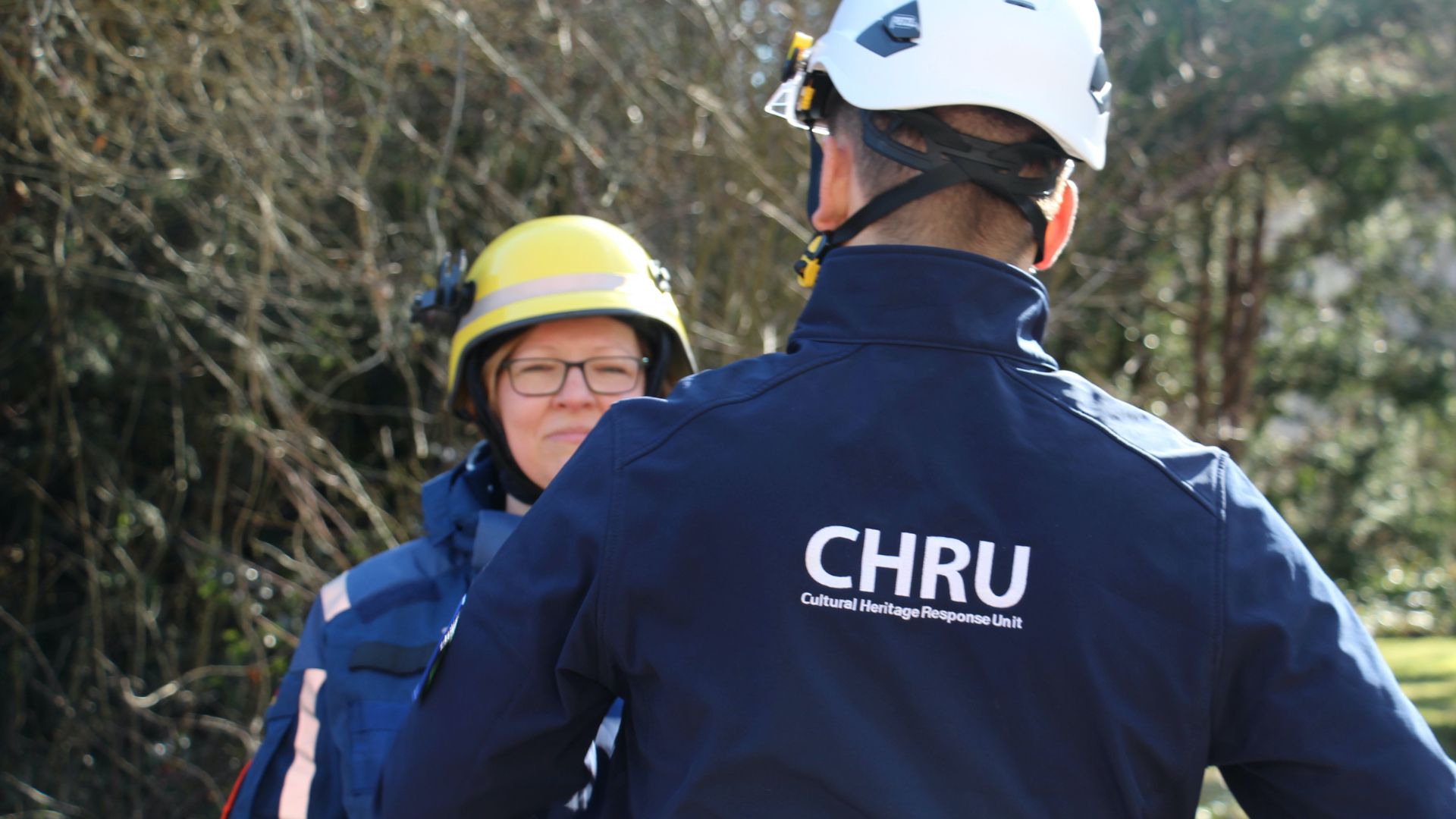
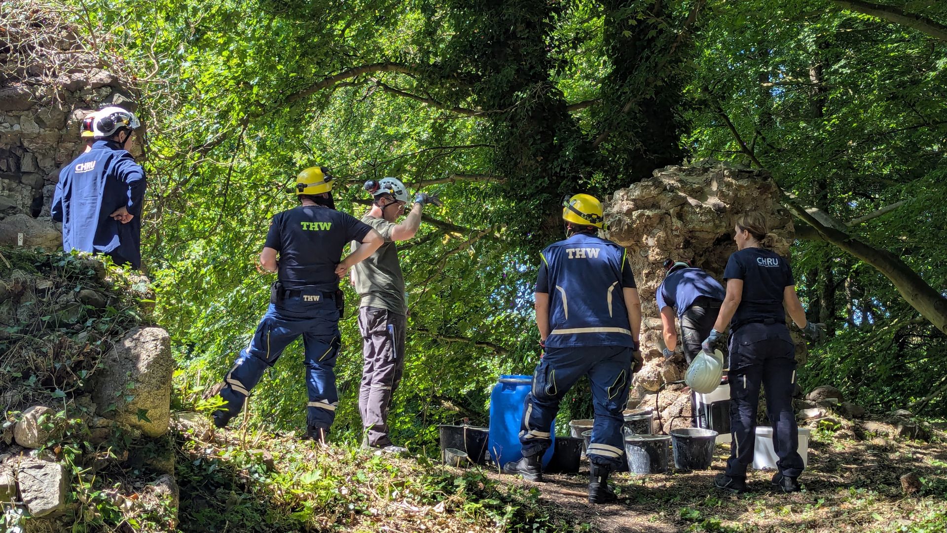
The Environment of the Micro-Region

During a short field campaign, the geographers of the project explored the environmental characteristics of several archaeological sites that were intensively surveyed this year. Equipped with camera, handheld GPS, and tools to clean and sample suitable sediment outcrops, we had a specific focus on drainage patterns and watershed structures. Interestingly, each archaeological site is located in a unique situation in terms of its environmental but also landscape position: one in a sheltered and hidden position, one in the center of two fertile intra-mountainous basins, one in a transitional location with direct access to the Bakırçay plain and close to an ancient road connecting Pergamon and Elaia, and finally one that is located slightly above the plain on a most likely flood secure situation. The present agricultural use of the locations differs as well and ranges from irrigated cotton and okra production in the plains to olive cropping on old terrace systems in the headwater areas of the Yuntdağ mountains.

Differences between the landscape character of the plain and its adjoining slopes (fig. left), the mountainous areas, in this case the catchment of modern Tekkedere valley (fig. middle), and the intra-mountainous basin (fig. right).

Although more detailed GIS and laboratory analyses are required, however already at the current stage it gets clear that the sites are illustrative examples for the functional diversity of the social-ecological structure of the Pergamon micro-region and perfect test cases for the ongoing model creation. The thickness of the sediment outcrops and current erosion features show that the ancient sites were located in morphodynamically sensitive areas. As it got obvious: environment, landscape, and socio-economic function of the places do create distinct characteristics and it will be an exciting task to disentangle their structural coupling.

The Tekkedere catchment is intensively used for Olive production. Due to the strong relief gradient, terraces are necessary to stabilize the slopes and hinder erosion. However, this requires a continuous investment of work to repair and preserve the terraces. Where terraces are broken or absent, active erosion occurs (fig. left), often leading to a complete loss of sediments (fig. right).